About Us
Olkalou Constituency
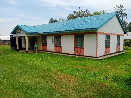
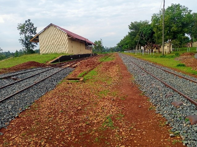
Butere Constituency borders Lurambi to the East, Khwisero and Gem to the South and Mumias West and Mumias East to the North. The Constituency covers an area of 210.1 Square Kilometers and had a population of Approximately 159,492 people as per the last Census. The population density is 759 per Square Kilometer. Butere Constituency has consistently and progressively received its share of NG CDF Funds. The Community has immensely benefited through Construction of Schools, Infrastructure, Health Facilities, and Sheds among others.
Access NG-CDF Information on your Mobile


County Assembly Wards in Olkalou Constituency:
Marama central Ward
- County Assembly Ward No.:
- County Assembly Ward Name: Marama central
- County Assembly Ward Population (Approx.):
- County Assembly Ward Area In Sq. Km (Approx.):
- County Assembly Ward Description: comprises part of
Marama North Ward
- County Assembly Ward No.:
- County Assembly Ward Name: Marama North
- County Assembly Ward Population (Approx.):
- County Assembly Ward Area In Sq. Km (Approx.):
- County Assembly Ward Description: comprises part of
Marama South Ward
- County Assembly Ward No.:
- County Assembly Ward Name: Marama South
- County Assembly Ward Population (Approx.):
- County Assembly Ward Area In Sq. Km (Approx.):
- County Assembly Ward Description: comprises part of
Marama West Ward
- County Assembly Ward No.:
- County Assembly Ward Name: Marama West
- County Assembly Ward Population (Approx.):
- County Assembly Ward Area In Sq. Km (Approx.):
- County Assembly Ward Description: comprises part of
Shianda/Marengo Ward
- County Assembly Ward No.:
- County Assembly Ward Name: Shianda/Marengo
- County Assembly Ward Population (Approx.):
- County Assembly Ward Area In Sq. Km (Approx.):
- County Assembly Ward Description: comprises part of